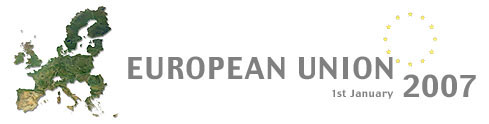
On the 1st of January 2007, Bulgaria and Romania become members of the European Union, adding 350,000 square kilometres of territory and 30 million citizens to the European single market. The territories of the new member states, and the current EU-candidate states, are shown on these new maps of Europe produced by Planetary Visions. A combination of digital map data with cloud-free satellite images, these natural-colour image-maps are available at high resolution for large-format print use up to a scale of 1:1 million.