Physical maps : the Iberian Peninsula
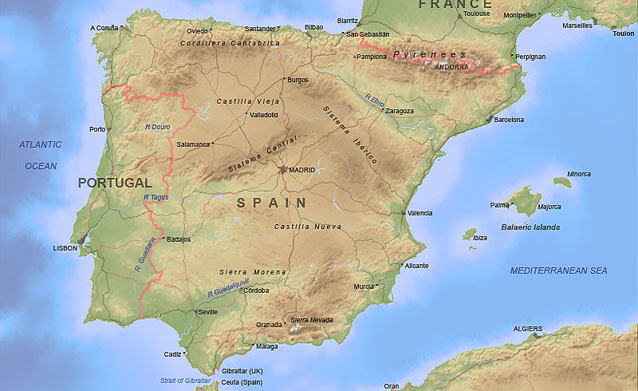
In addition to the topographic base layer, this physical-style map, produced for Oxford University Press, shows country boundaries, urban areas, rivers, lakes, main roads and railways. Towns and physical feature labels were placed by hand.
Source data: Digital Chart of the World, World Vector Shoreline, GLOBE digital terrain.