Glacial
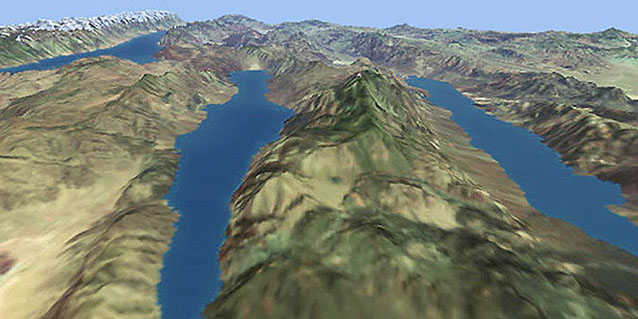
This image is a still from an animation sequence showing the creation of glacial lakes in the "basin and range" province of the western United States during the melting of the Cordilleran Ice Cap at the end of the last ice age. A detailed digital terrain model was used to create the surface of the lakes by localised flood-filling and the remnant ice cap in the Sierra Nevada Mountains to the west.
Data source : Landsat TM imagery, 90 metre digital terrain from USGS
Client : UFA/NHK/Discovery Channel (
Death Valley)