Political maps : Gas Exploration
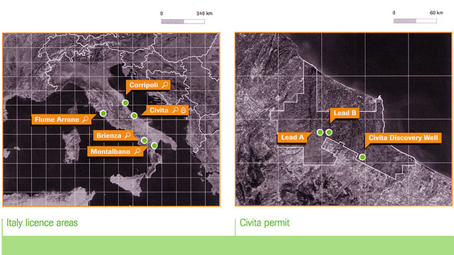
In this set of maps for a company report, geocoded MODIS and Landsat
satellite images are combined with our
national boundaries and a client's own GIS data showing oil and gas exploration areas.
Source data:
MODIS and Landsat satellite imagery, World Vector Shoreline, client-supplied geodata
design by: db&co