Detailed terrain
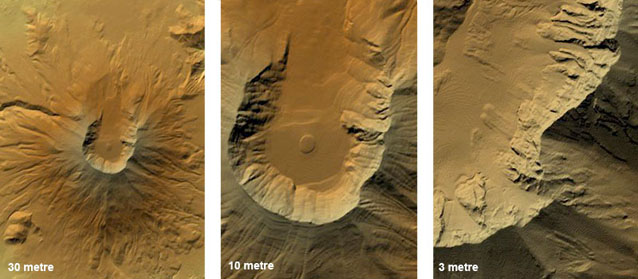
We can provide detailed digital terrain data for local areas, including anywhere in the conterminous United States at a grid spacing of 30 metres (1 arc second), most of the US at 10 metres (1/3 arc second) and parts at 3 metres (1/9 arc second). For other countries, we can arrange licensing of similar high resolution terrain data, where available, from national mapping agencies.
Coverage: USA
Grid spacing: 1 arc second (approximately 30m)
Data source: US National Elevation Dataset