Colour schemes
Planetary Visions Digital Terrain is available in a choice of colour schemes, optimised for print and multimedia publication. Customised colour and shading schemes can be created to match your requirements. Optional overlay layers are available showing lakes, rivers and ice caps.
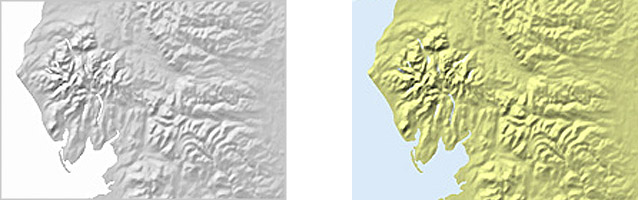
Hill-Shaded
The terrain data is illuminated from the northwest using a non-linear shading algorithm which enhances lowland detail without saturating areas of high relief. Sea and lake areas are masked out using digital map coastlines. Available in monochrome (above left) or with green land and blue sea (above right).
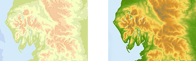
Coloured by Height
Different colours are assigned between specified height values, enabling the terrain elevation to be read via a colour key. Contoured colour offers a limited number of colour bands in land and sea (above left), whilst smooth colour offers a continous variation based on the full range of 16-bit height data (above right).
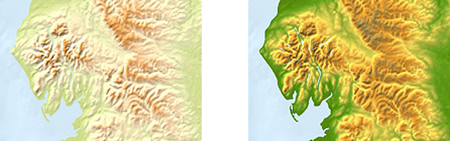
Coloured and Shaded
The monochrome hill-shaded component can be added to the coloured component to give coloured and shaded terrain. The light colour scheme (above left) is optimised for print use when the terrain image is overlaid by digital map data such as coastlines, roads, rivers and place names. The strong colour scheme (above right) is optimised for multimedia use and when the terrain data is the primary information layer in the map.